

- Detalles
- Track GPX
- Valoraciones 0
- prev
- next
- Me la apunto
- Compartir
- Valorar
- prev
- next
Sobre la ruta
Los Ilsos de Ribacoba forman la encrucijada de tres antiguos caminos, sobre una explanada a los pies del Monte Burgüeño. En medio de la campa hay varios ilsos o mojones que delimitan los municipios de Karrantza, Valle de Villaverde (Cantabria) y Artzentales. En ellos podremos ver inscripciones y fechas grabadas; las más antiguas datan del año 1579.
Para llegar al inicio de la ruta, nos dirigiremos en coche desde el barrio de Concha hasta el de Montañán. Cruzaremos el barrio y continuaremos por la carretera de cemento hacia arriba, tomando una pronunciada curva a la derecha. 300 m después, nos encontraremos con el primer cruce, que cogeremos a la derecha. Tan sólo 100 m más adelante, tomaremos el segundo cruce (también a la derecha). Continuaremos en coche por la carretera, pasando un paso canadiense y continuando recto. Esta carretera nos llevará hasta Sobrepeña, uno de los rincones más especiales de Karrantza, tanto por sus vistas como por la ermita de San Isidro, patron de los ganaderos.
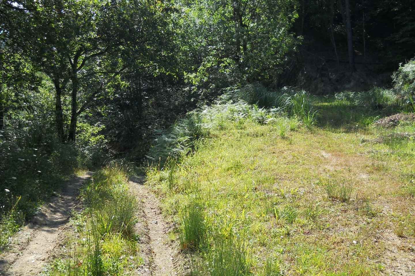
Aquí aparcaremos el coche e iniciaremos la ruta a pie por una carretera de cemento y tierra, flanqueada por pinos y hayas, que nos llevará hasta la campa de Ribacoba. Al llegar a la parte más alta, cogeremos un sendero a la izquierda que nos descubrirá una trinchera de la Guerra Civil y el túmulo prehistórico: Campa de Ribacoba. Continuando la trinchera, llegaremos hasta los Ilsos. Para regresar, nos incorporamos de nuevo a la pista y volvemos por el mismo camino.
Track de la ruta
Detalles
- Dificultad: Fácil
- Distancia: 8 Km
- Desnivel: 305 m
- Modalidad: Senderismo
- Tipo de itinerario: Circular
- Tiempo estimado: 3:05 horas
- Tipo de terreno: Pistas, caminos hormigonados, senderos y asfalto
-
Por dónde pasa la ruta:
Karrantza Harana, Artzentales
Añadir una valoración