

- Detalles
- Track GPX
- Valoraciones 0
- prev
- next
- Me la apunto
- Compartir
- Valorar
- prev
- next
Sobre la ruta
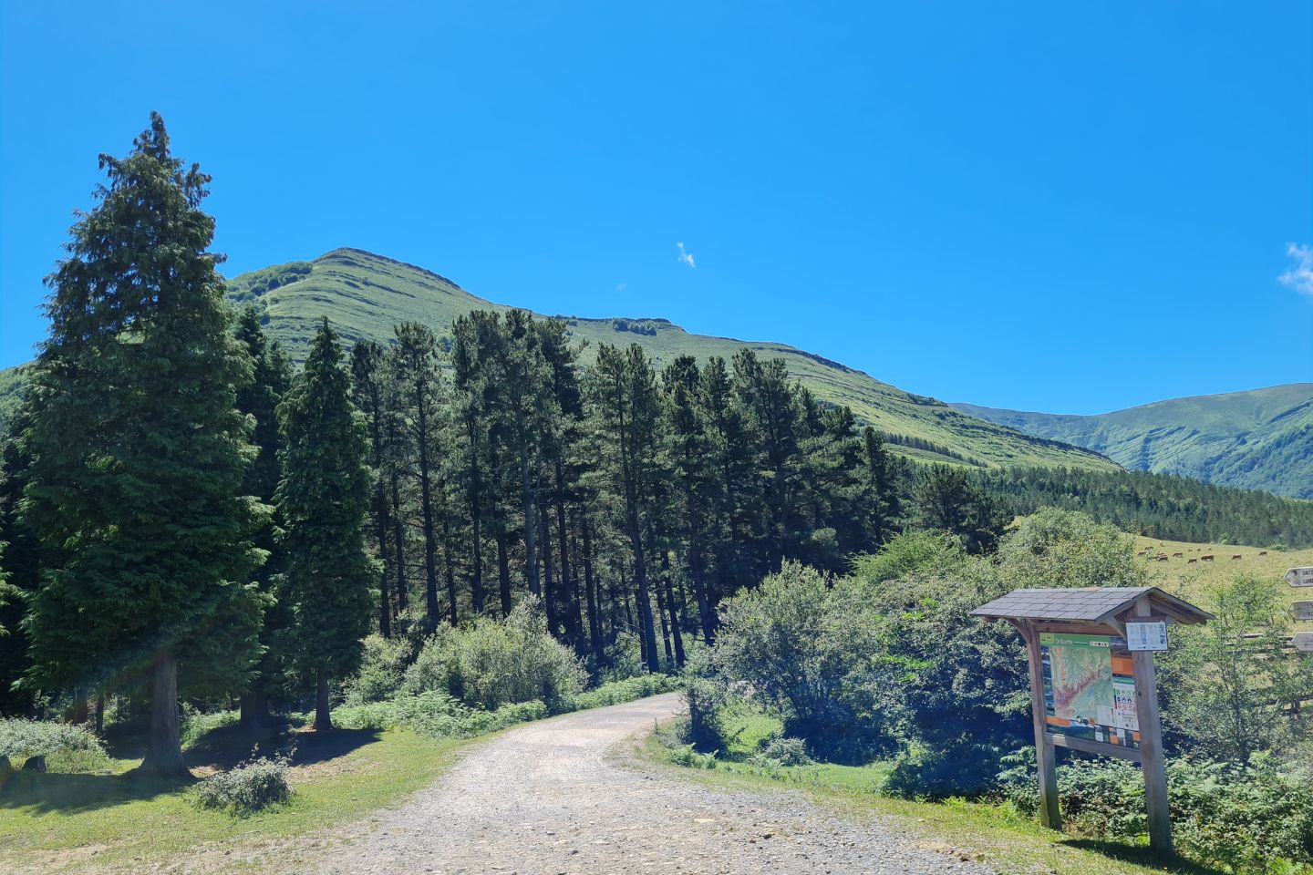
Karrantza es el valle más extenso de Bizkaia, un lugar donde la naturaleza nos muestra su lado más fascinante. Se encuentra en el límite con Burgos y Cantabria, resguardado por los Montes de Ordunte en el sur y por el Parque Natural de Armañón en el el norte. En esta ruta se visita la sierra de Ordunte, un cordal de más de 20 kilómetros coronado por varias cimas que superan los 1.000 metros. Se trata de un recorrido exigente que nos llevarña a esforzarnos para acceder a verdaderas atalayas de este precioso enclave. La ruta que comienza en Turtzioz, con una continua progresión ascendente, recorre los paisajes kársticos.
Gracias a estos macizos de piedra, Armañón goza de un microclima que ha permitido que crezcan encinares y hayedos mediterráneos a muy poco kilómetros del litoral cantábrico. Durante el recorrido, de dificultad media, se bordea el robledal de Remendón, un bosque de ejemplares enormes y centenarios, el más extenso de Bizkaia. Desde aquí se alcanza a ver el pico de Armañón, una cumbre redondeada habitada por caballos, pottokas, ovejas y vacas pastando. Turtzioz comparte con el valle de Karrantza la titularidad del Parque Natural de Armañón. A partir de este punto comienza una bajada de unos 12 kilómetros hasta la carretera Bi-630 por donde se accede a Ambasaguas, lugar para descansar y reponer fuerzas para la dura etapa del día siguiente.
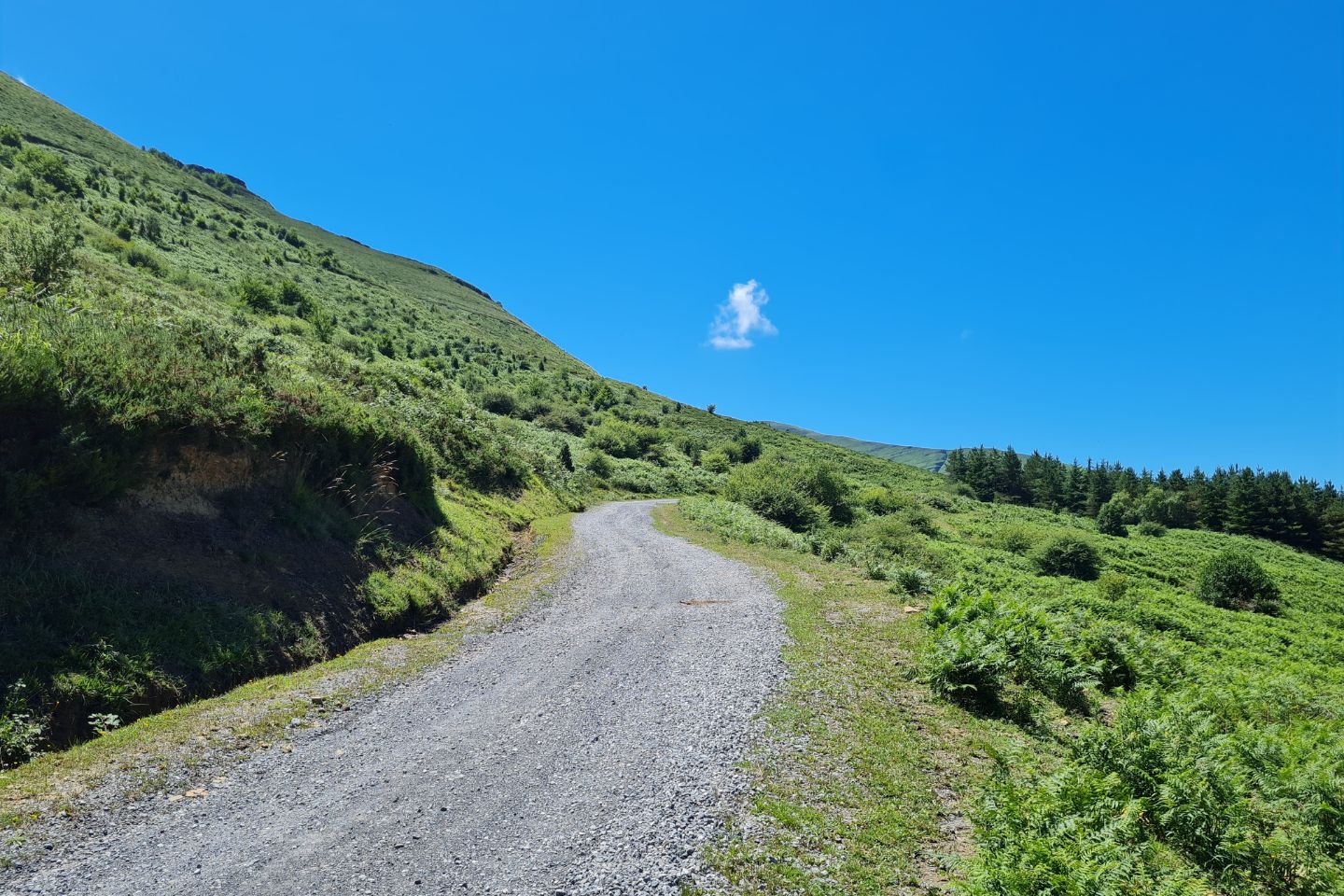
En esta etapa, se vuelve a comenzar con una larga y continua progresión ascendente que recorre bosques para dar paso en poco tiempo a los prados de este entorno ganadero. La rpimera cota reseñables es en el alto de Ubal. Continuando por pistas y caminos ganaderos se asciende a una segunda cota próxima de la cima Cotobasero, a unos 15 kilómetros del inicio de etapa. La ascensión continúa adentrándose en bosque para acabar realizando un fuerte repecho en zigzag que nos encarama a la sombra del monte Peñalta y Odunte.
A partir de aquí, la progresión será descendente para volver a ascender brevemente al portillo de Brena por el cual accederemos en muy poca distancia al próximo monte denominado Balgerri, lugar ideal para hacer un descanso y acceder a esta cima de inigualables vistas al valle de Karrantza.
La ruta prosigue jalonada por la línea de cumbres donde destaca el Portillo de Gospeñata, Pico del Ilso de Pedranzo, el monte Maza Pando, en un continuo descenso que nos acercará a las laderas del monte Kolitza, espectacular lugar para disfrutar de un paisaje impresionante. La ruta prosigue su descenso buscando el cruce de la carretera BI-630, donde prodremos hacer el alto de esta dura jornada para descansar en Traslaviña.
La última etapa, de algo menos de 20 kilómetros, busca el punto de inicio de esta increible travesía atravesando el cordal de Betaio que nuevamente nos volverá a dejar un paisaje de admiración ante nuestros ojos. Tramo de recorrido precioso que culmina la etapa con tiempo suficiente de celebrar en el entorno de Turtzioz.
Detalles
- Dificultad: Difícil
- Distancia: 91 Km
- Desnivel: 3365 m
- Modalidad: MTB
- Tipo de itinerario: Circular
- Tiempo estimado: 3 días, 2 noches
- Tipo de terreno: Pistas, caminos hormigonados, senderos y asfalto
- Por dónde pasa la ruta:
Añadir una valoración