

- Detalles
- Track GPX
- Valoraciones 0
- prev
- next
- Me la apunto
- Compartir
- Valorar
- prev
- next
Sobre la ruta
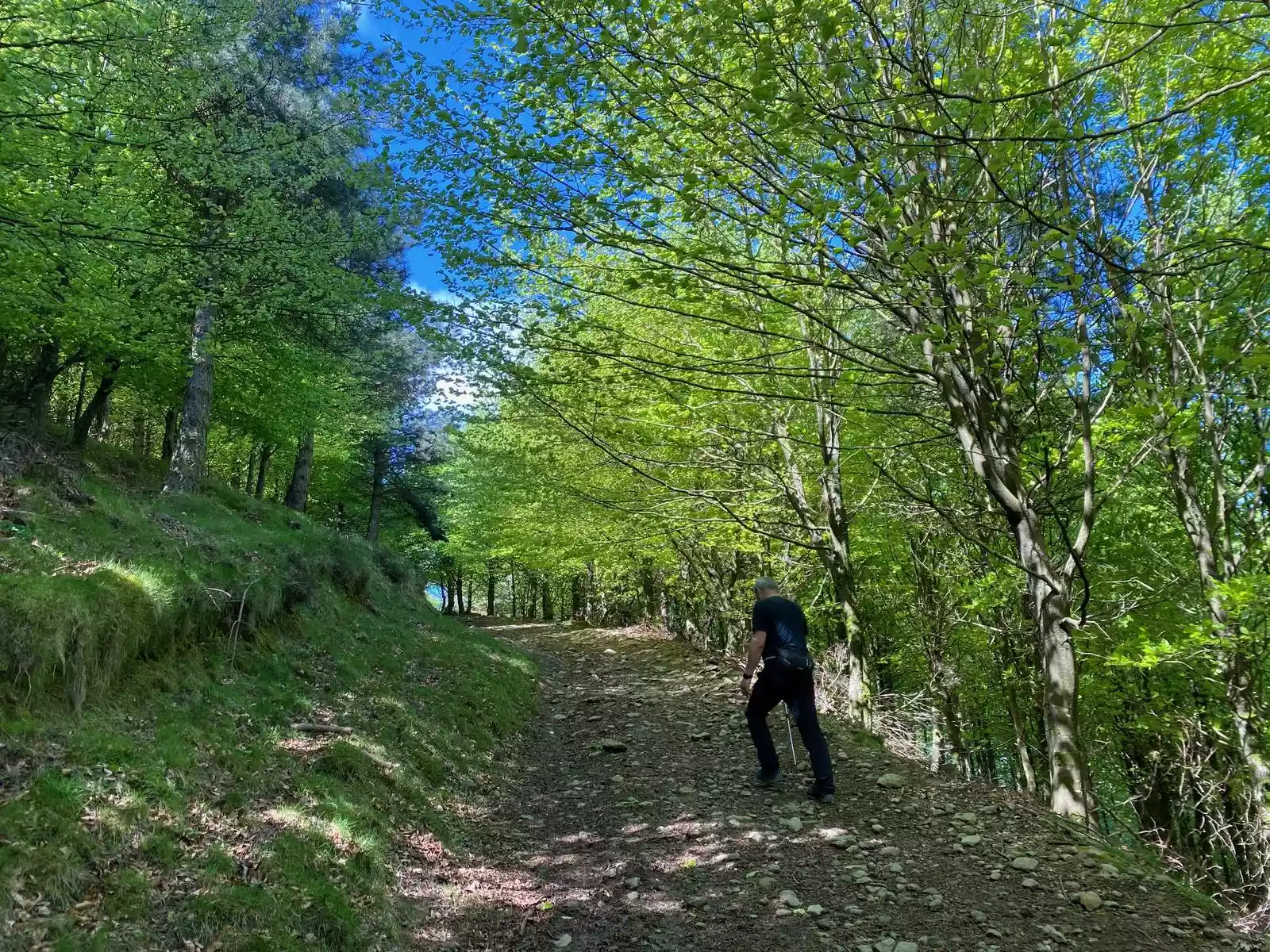
Hemos dividido la ruta en dos modalidades: la verde, más accesible, sin zonas técnicas y con menor desnivel, y la roja, que dispone de varios tramos técnicos. Ambos circuitos, rojo y verde, comparten los primeros 8 kilómetros hacia la primera referencia: el Zamaia y su cueva, que alcanzaremos tras un ascenso progresivo por un sendero que discurre sobre el cresterío.
Dejando el vecino Gonceda a nuestra derecha, alcanzaremos el inicio de la subida al Ganekogorta, donde ambos circuitos se separan de forma definitiva.
El verde continuará por una senda que nos llevará a enlazar con la pista del PR100 antes de dirigirse a la última cima (la del Tontorra) y comenzar el descenso hacia el barrio de Azordaiaga.
Por el contrario, el rojo afrontará seguramente uno de los tramos con mayor desnivel de todo el
desafío en dirección a la cima bocinera del Ganekogorta, con sus 1.000 metros de altura. Eso sí, las vistas espectaculares recompensarán el esfuerzo.
El descenso no debe llevarnos a engaño, puesto que nos exigirá prestar atención a dónde se pisa y a los diferentes pasos de roca que encontraremos hasta llegar al cruce de caminos que nos llevarán a enfilar la pista hacia Azordaiga.
Track de la ruta
Detalles
- Dificultad: Difícil
- Distancia: 20 Km
- Desnivel: 1016 m
- Modalidad: Senderismo
- Tipo de itinerario: Circular
- Época recomendada: Primavera-Verano-Otoño y días claros
- Por dónde pasa la ruta:
Añadir una valoración