Mendi-ibilbide honek Burdin Mendien Bide Berdea (Bizkaiko luzeena) zeharkatzen du, Traslaviñako (Artzentales) tren-geltokitik Itsaslurreko (Muskiz) itsaslabarretaraino. Udalerriko ostatuak gaua egiteko aukera aparta dira. Itzulera antzinako Alen meatze-barrutitik egingo dugu. Hiru ustiategik osatzen zuten Alengo meatze-barrutia: Sorpresa eta Amalia Juliana, aire zabalean landu zirenak, eta María, galerian landu ohi zena.
Santa Lucía meatzaritza-ahoa nabarmentzen da. Haren barruan, izen bereko ermita bat dago. Gune honen garrantziaren ondorioz, meatzaritza-auzoa sortu zen XIX. mendearen amaieran. 1900. urtearen hasieran, 500 biztanle baino gehiago bizi ziren aldamenean, eta hainbat zerbitzu sortu behar izan ziren komunitatearentzat.
Ibilbidea Sopuertako Castaño auzoan hasten da. Antzinako meatze-trenbidearen trazadurari jarraitzen dio, eta balio ekologiko handiko eremuetan sartzen da; esate baterako, Trianoko Mendietako biotopo babestuan edo La Arena hondartzan, Barbadun itsasadarrean (Natura 2000 Sarea). Meatze-aztarnak ugariak dira ibilbide osoan. Ibilbidea egin bitartean, eta bidetik ia desbideratu gabe, kargalekuak, kiskalketa-labeak eta aire zabaleko meategi ohiak aurkituko ditugu. Beste aztarnategi batzuk, aldiz, lakuak eta berdeguneak dira gaur egun.
Bide Berdea Itsaslurren (Muskiz) amaitzen da. Itsaslabarren ertzetik bihurka doan pasealeku lasai hau Euskadiko meatze-barruti handienetako bat izan zen garai batean. Atzean utziko ditugu Artzentales, Sopuerta, Galdames, Abanto-Zierbena eta Zierbena udalerriak. Hortik aurrera, Alengo meatze-barrutitik igaroko den desnibel handiarekin ekingo diogu itzulerari. Alen mendiaren magalak inguratuz, Artzentales herriraino jaisten hasiko gara.
Herrigunetik irten eta gutxira, La Porqueriza atsedenlekuraino igoko gara. Handik, Traslaviñara iritsiko gara behera eginez, Burdin Mendien Bide Berdearekin eta ondoren helmugarekin (Sopuerta) bat egiteko.
Artzentales, Balmaseda, Galdames, Muskiz, Zierbena, Abanto-Zierbena
This mountain route covers the Vía Verde de los Montes de Hierro (Iron Mountains Greenway), the largest in Biscay, from Traslaviña station (Artzentales) to the Itsaslur Cliffs (Muskiz) where you can rest in one of the neighbouring accommodations. And the return is being made through the former Alen mining network. The Coto Minero de Alen (mining site) is composed of three mining areas: Sopresa and Amalia Juliana, which were exploited in the open air, and María, whose work was carried out in the gallery.
The Bocamina Santa Lucía (pithead) differs from this mining reserve, inside is a hermitage bearing this name. The importance of this reserve has meant that, since the end of the 19th century, a mining district has been formed there. At the beginning of 1900, it had more than 500 inhabitants, so different services had to be created for this community.
The route starts in SoPuerta, in the district of Castaño, following the route of the old mining railway and enters enclaves of great ecological value, such as the protected biotope of Montes de Tirano or La Arena beach, in the middle of the Barbadún estuary (Natura 2000 network). Mining remains abound throughout the course. Following the course and barely leaving it, we will find loading docks, calcination furnaces and former open-pit mines. Other sites have been converted to lakes and green spaces.
The route of this greenway culminates in Itsaslur (Muskiz), a trail that crosses the cliffs of the Cantabrian Sea and was once the largest mining site in Biscay and one of the largest mining reserves in the Basque Country. We leave the municipalities of Artzentales, Sodoor, Galdames-Abanto-Zierbena and Zierbena. From there, we continue on significant slopes along the route through the Alen Mining Reserve, which, bypassing the slopes of the Alena Peak, will begin its descent to the city of Artzentales.
Shortly after leaving the city center, the route goes back up to reach the La Porqueriza leisure area, where the route descends to reach Traslaviña and join the Vía Verde de los Montes de Hierro (Iron Mountains Greenway), which will take us to the starting point in Sodoor.
Artzentales, Balmaseda, Galdames, Muskiz, Zierbena, Abanto-Zierbena
Esta ruta de montaña recorre la Vía Verde de los Montes de Hierro, la más extensa de Bizkaia, desde la estación de tren de Traslaviña (Artzentales) hasta los acantilados de Itsaslur (Muskiz) donde se podrá descansar de la jornada en alguno de sus alojamientos próximos. Y la vuelta se realiza por el antiguo entramado minero de Alen. El Coto Minero de Alen se compone de tres zonas de explotación: la Sorpresa y la Amalia Juliana, que se trabajaron a cielo abierto, y la María cuyo laboreo se hacía en la galería.
Destaca de este coto minero la bocamina Santa Lucía, en cuyo interior hay una ermita con esta denominación. La importancia de este coto hizo que desde finales del siglo XIX se formara aquí un barrio minero. A comienzos de 1900 llegó a tener más de 500 habitantes, por lo que tuvieron que crearse diferentes servicios para esta comunidad.
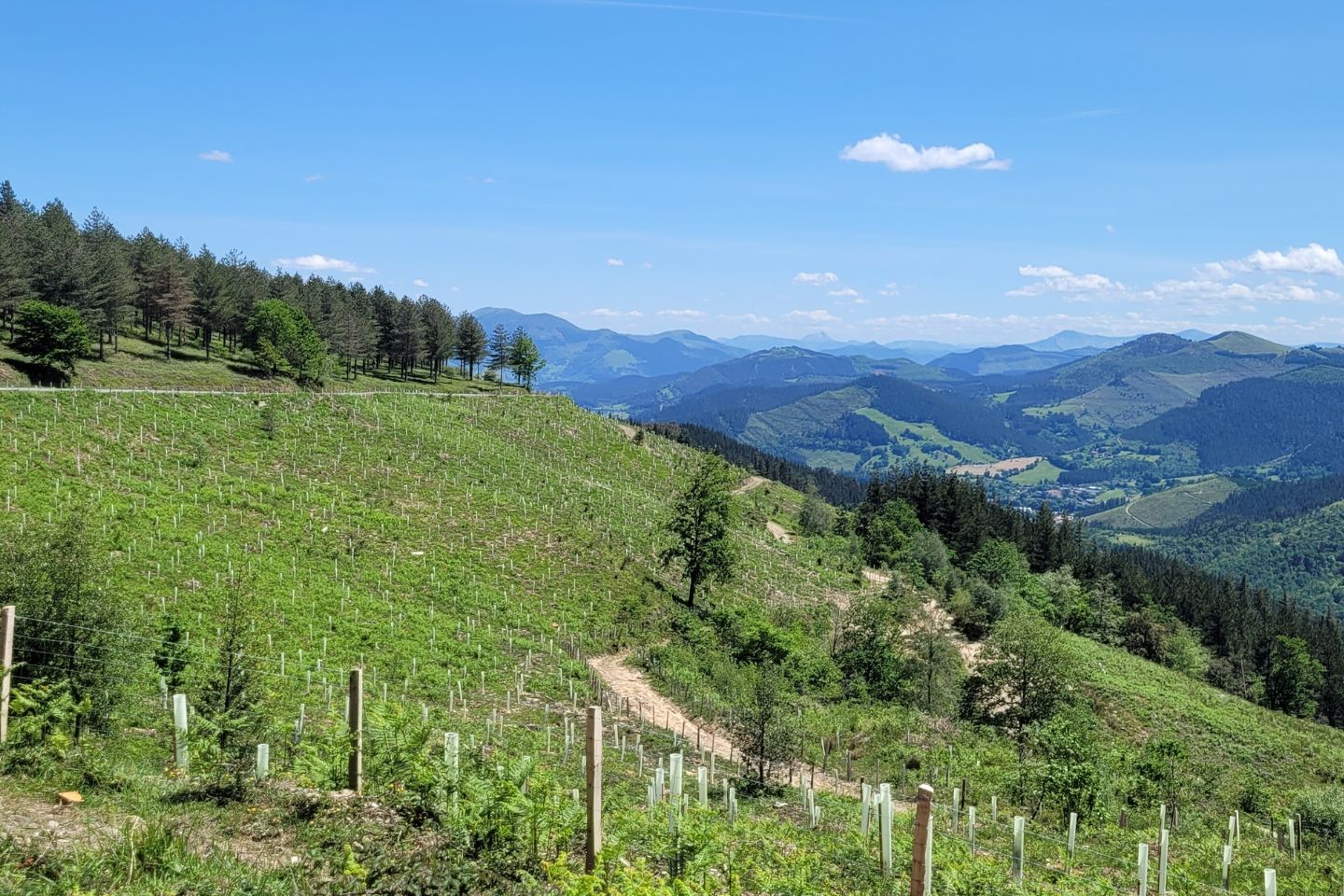
El itinerario comienza en Sopuerta, en el barrio denominado Castaño, siguiendo el trazado del antiguo ferrocarril minero y se adentra en enclaves de gran valor ecológico, como el biotopo protegido de los Montes de Tirano o la playa de La Arena, en plena ría del Barbadún (Red Natura 2000). Los vestigios mineros abundan en toda la ruta. Siguiendo la ruta y sin apenas desviarse de su trazado, encontraremos cargaderos, hornos de calcinación y antiguas minas a cielo abierto. Otros yacimientos han sido reconvertidos en lagos y zonas verdes.
El recorrido de esta vía verde culmina en Itsaslur (Muskiz), una senda que recorre los acantilados del Cantábrico y que en su día fue el gran cargadero minero de Bizkaia y uno de los mayores cotos mineros de Euskadi. Atrás habremos dejado los municipios de Artzentales, Sopuerta, Galdames, Abanto-Zierbena y Zierbena. A partir de aquí, se realiza la vuelta con unos importantes desniveles que encaraman la ruta por el coto minero de Alen que , Circunscribiendo las laderas de la cima de Alena, comenzará su descenso hasta la localidad de Artzentales.
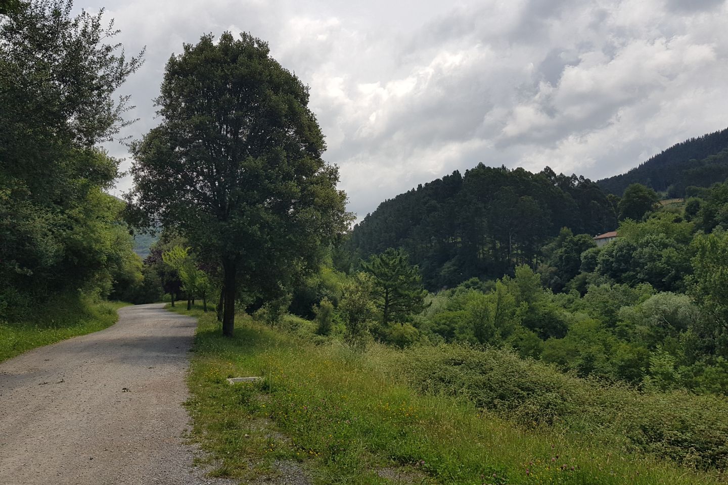
Al poco de abandonar el núcleo de población, la ruta vuelve a ascender para alcanzar el área de recreo de La Porqueriza, lugar desde el cual la ruta desciende para llegar a Traslaviña y conectar con la Vía Verde de los Montes de Hierro que nos llevará hasta el punto de partida en Sopuerta.
Artzentales, Balmaseda, Galdames, Muskiz, Zierbena, Abanto-Zierbena
Añadir una valoración