

- Me la apunto
- Compartir
- Valorar
- prev
- next
About the route
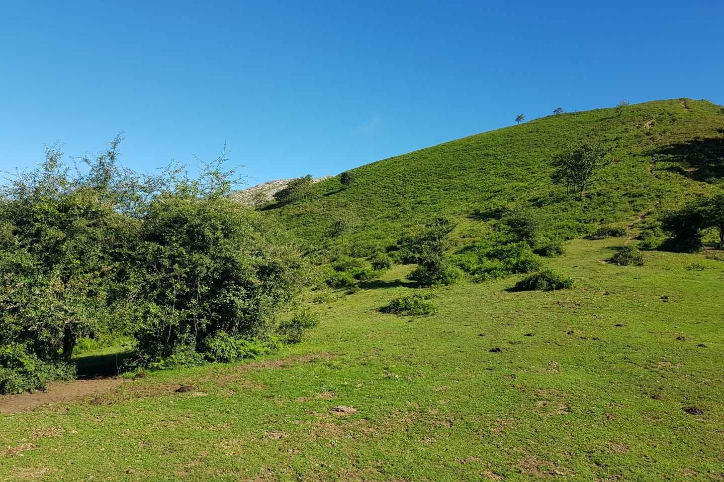
Pico La Cruz is the main reference. The height, 802 m and belonging to the municipality of Galladies, is crowned by a peculiar and recognizable rock formation. Mining activity has completely transformed the appearance of villages and landscapes in the region, as evidenced by the breathtaking panoramic views we will find in our wake, which is now being renaturalized.
We divided the course into two levels: the green level, which is more accessible, without technical zones and with less slope, and the red level, which has several technical sections. The two share the vast majority of the course, with small segments in which they are temporarily separated.
Both circuits will have their epicenter in the Plaza de San Pedro de Galladies and will share several common sections, such as Pico la Cruz, Gasterantz and the Montes de Triano region (Goiuriz and Mina La Elvira).
Both will set off along the path known as GR 281, passing through the Akendibar district, where you can admire its oak grove and hermitage, as well as discover a segment of the history of the Battle of Somorrostro.
We will continue to gain meters of slope along the trail until it ends. Then, we will have to travel several meters vertically, at which point the circuits split for the first time. The red circuit will cover the entire vertical section until reaching the miniature replica of the Gorbeia cross, while the green circuit will take the path that starts from Collado Aldape, which is more affordable to reach the base of Pico la Cruz.
At this point, they meet again, continuing to the forest next to Gasterantz, where we will enjoy the panoramic views offered by the Eretza and the Larrea Pass (and even, beyond, by the Sierra Salvada).
At the exit of the forest, we will continue on a small path below Ganeran, to Giuruz, then the area of the mines and chasms of Mina Elvira.
After a new separation, the green line will turn left and take the descent that will take us to the Laia district before reaching the finish line around Plaza de San Pedro Square, while the red line will continue along the road passing through Montes de Triano to Sauco. At this point, we will face the descent to Urallaga and its cave, the famous La Magdalena cave.
We will continue to gradually descend through small eucalyptus forests to the La Aceña region and we will connect a last section next to the quarry, until the end of the route.
Route Track
Details
- Difficulty: Medium
- Distance: 16 Km
- Grade: 800 m
- Modality: Hiking
- Itinerary type: Loop
- Estimated time: 3-4
- Type of terrain: Tracks, concrete roads, trails and asphalt
- Where does the route go:
Add a review